When openstreetmap collides with slum upgrading
23 March 2015 | debigc
Lehasa “Hazy” Mochekoane is an Assistant Physical Planner assigned to Mafeteng Urban Council who has been using openstreetmap for over a year now. Hazy talks about his plan to use openstreetmap to support a slum management project.
[caption id=”attachment_359” align=”aligncenter” width=”105”] Lehasa Mochekoane[/caption]
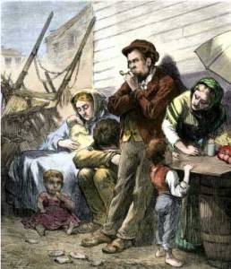
The English word Slum has an origin in the Irish language. My Irish Planning colleagues explain that to say slóm é indicates that something is bleak, dreary or dirty. It all has something to do with the forced immigration of poor Irish agriculturalists to large American cities, just to find themselves living in very poor conditions in cities unready for their arrival.
[caption id=”attachment_356” align=”aligncenter” width=”258”] Poor Irish immigrants in the slums of New York[/caption]
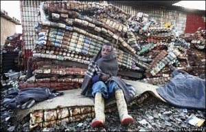
As a physical planner you sometimes get opportunities to contribute to interesting projects. The Participatory Slum Upgrading Program (PSUP) is one such project. The PSUP is working with three local Government bodies to understand the physical planning issues in Lesotho as they relate to slums. The program is still in the first phase until March 2016. The Program aims to devise a system of better urban management where slums have arisen in three areas. Maseru Municipal Council, Mafeteng Urban Council and Maputsoe Urban Council. The project is funded by the European Commission, UN-Habitat and the Ministry of Local Government, Chieftainship and Parliamentary Affairs.
[caption id=”attachment_358” align=”aligncenter” width=”300”] Slums in Maseru[/caption]
Slums happen when there is a breakdown in the urban governance system in meeting the demands for the needs of sections of the population for affordable housing. Lesotho is urbanising fast, which is one of the contributory causes to slum development, but also slums are a market failure, where land in a city or town simply costs too much for normal transactions to provide for affordable housing for new arrivals or the expanding population who are classed as “urban poor”.
[caption id=”attachment_360” align=”aligncenter” width=”394”] #MapKibera in Kenya[/caption]
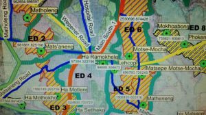
We all know about the huge Kibera slum in Nairobi and how #MapKibera (at least) achieved the first map of an uncharted area if not a process to actually improve things and make life a little easier. What I intend to do is draw a boundary around the three designated areas in openstreetmap, import this into QGIS and carry out spatial queries to determine how many buildings are in each, how dense they are and an inventory of the services available in each one. At this stage this is a useful input to the PSUP.
[caption id=”attachment_363” align=”aligncenter” width=”300”] Slum designated areas Mafeteng[/caption]
Lehasa Mochekoane