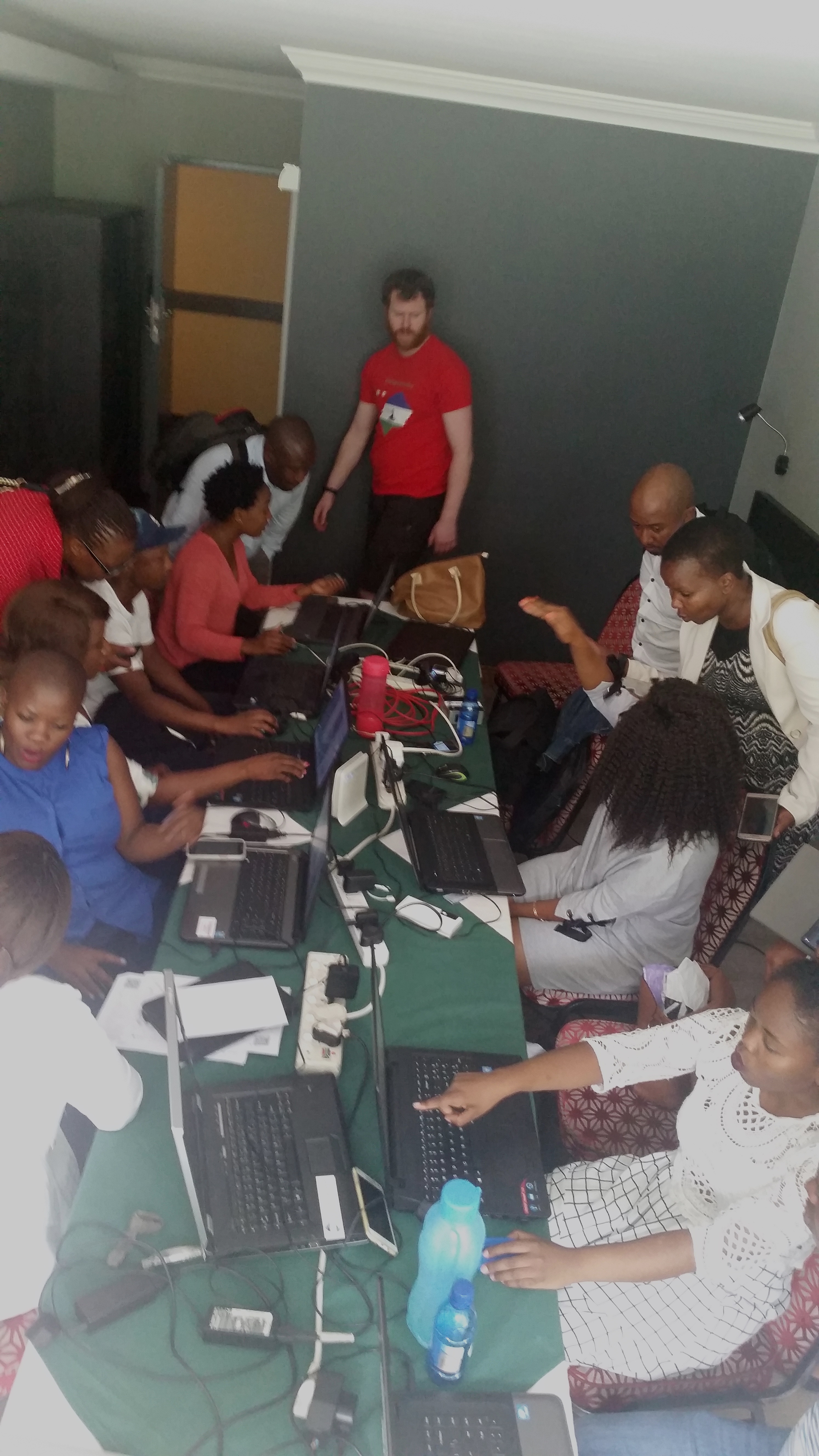
#MapLesotho phase 4 (part 1)
11 February 2018 | DeBigC
As everyone who knows mapping in Lesotho knows the Beardies are back in town. We have had a great first week, and there is one more week to go.
The objective of the trip to Lesotho this time is to kick start the really super detailed mapping of the mountain kingdom as explained beautifully in the wiki. The super detail is what is required by Planners in Lesotho to do primary spatial analysis of the areas to which they are assigned.
This year the first contact day was a Sunday, where we did a Field Papers Mapillary blast of the villages of Ha Nko, Ha Loka and Ha Ngoatonyane. On Monday we held an open clinic for the mappers of Lesotho to bring in any difficulties they were experiencing with the editors or mobile phone apps.
On Tuesday we headed to Motsekuoa and captured a large amount of Mapillary, while at the same time in Maseru we facilitated a workshop on developing the tags required for phase 4.

On Wednesday and Thursday we took trips into Berea for two more captures, while on Thursday at base we held a meeting with CEDAMA, the national GIS officers group to help their awareness of the #MapLesotho data. On Friday everyone stuck together to do reflective work on how fieldpapers and mapillary could work better.
The whole time we have been here the Lesotho mappers have flocked to the wifi and worked hard on mapping the data we have captured the previous days. Right now task 3885 is complete, but needs some validation. We look forward to meeting more of the native Basotho mappers of Lesotho in the coming week.