My first #MapLesotho Post
12 April 2016 | mithokoane
I am a mapper since February 2015 when I was selected to represent Berea District Council Physical Planning Department. That was my first OpenStreetMap experience. I fell in love with it! Since then, I have been mapping and enjoying every second of it. I have moved from a casual mapper, now a heavy mapper. But I like to explore all the ways in which mapping can be fed by different forms of technology used.
[caption id=”attachment_1429” align=”alignnone” width=”800”] OSM Technical Team hard at work me sitting front[/caption]
Using OSM quality assurance tools and a dedicated Technical Team composed of Lekoro, Seisa, Stanley and Ts’epo I am confident that we can shortly have a very good, Base map of Lesotho. This year us five learned the use these four quality assurance tools;
This week I had to visit Ha Nkhahle, Berea to carry out a field inspection for planning purposes. I used the MAPS.ME phone app to get to my destination:
[caption id=”attachment_2381” align=”alignnone” width=”983”]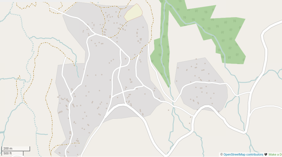 Ha Nkhahle village, Berea[/caption]
[caption id=”attachment_2386” align=”alignnone” width=”1600”] Phuthiatsana River near Ha Nkhahle[/caption]
Looking at OSM, comparing that to what is on the ground I can see we need to put more attention on Tagging; accurate tagging ensures that the map is usable for planning data requirements. But as we all know, this data is available for people who wish to download it for all kinds of things tourism, navigation, app development - hopefully it will be good for them too. Most users will use it for navigation, through app interfaces like maps.me.
For the moment I have to keep mapping. Thanks to anyone who is helping me get Berea finished on http://tasks.hotosm.org/project/894